My Name is Frank Collins and I’m a Web Developer
Laser focused on building modern, scalable applications with an emphasis on performance, clean architecture, and user experience. Experienced with JavaScript, React, various CMS solutions.
Laser focused on building modern, scalable applications with an emphasis on performance, clean architecture, and user experience. Experienced with JavaScript, React, various CMS solutions.
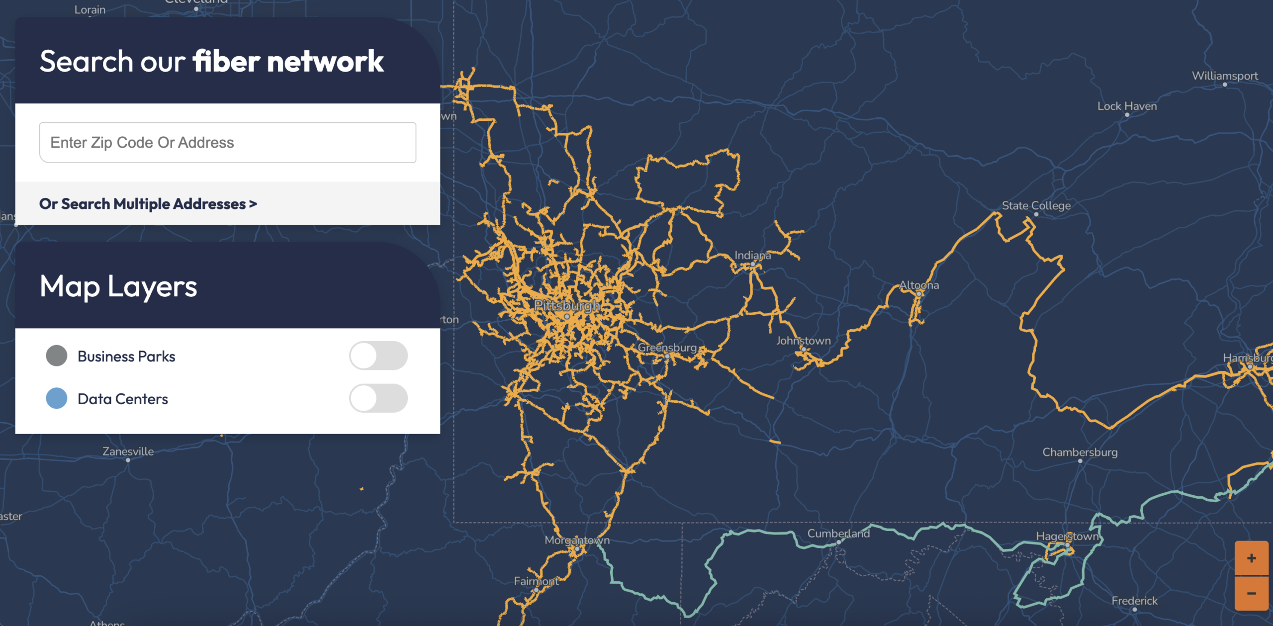
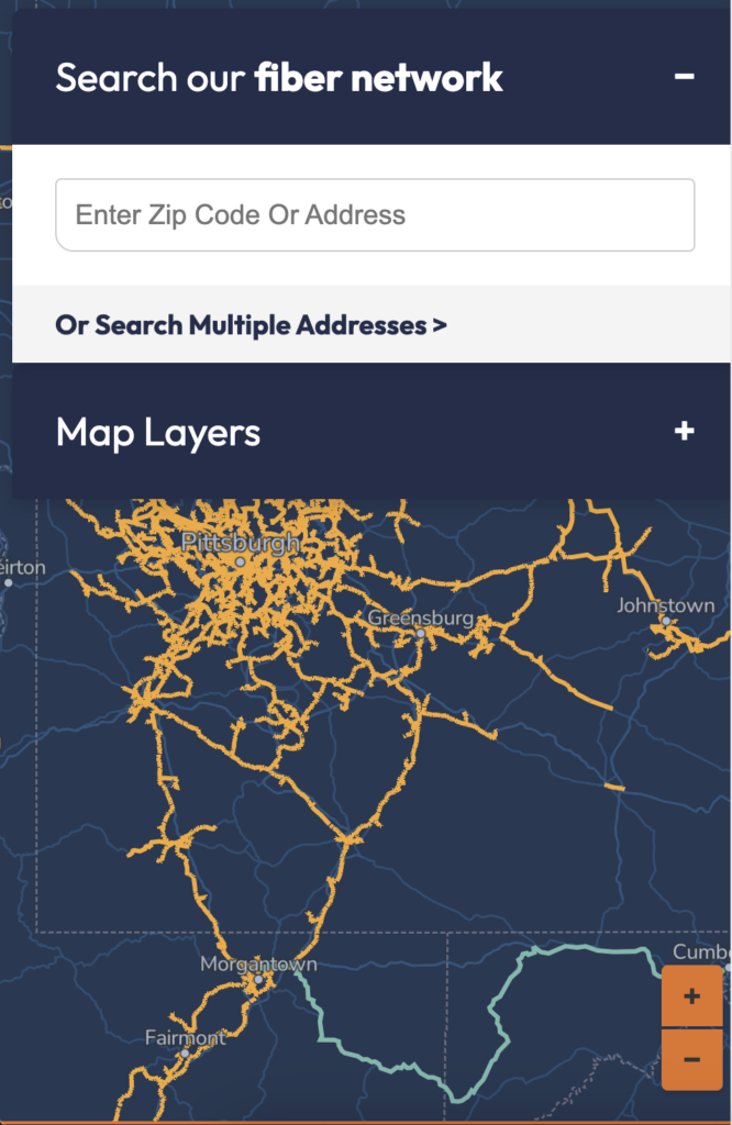
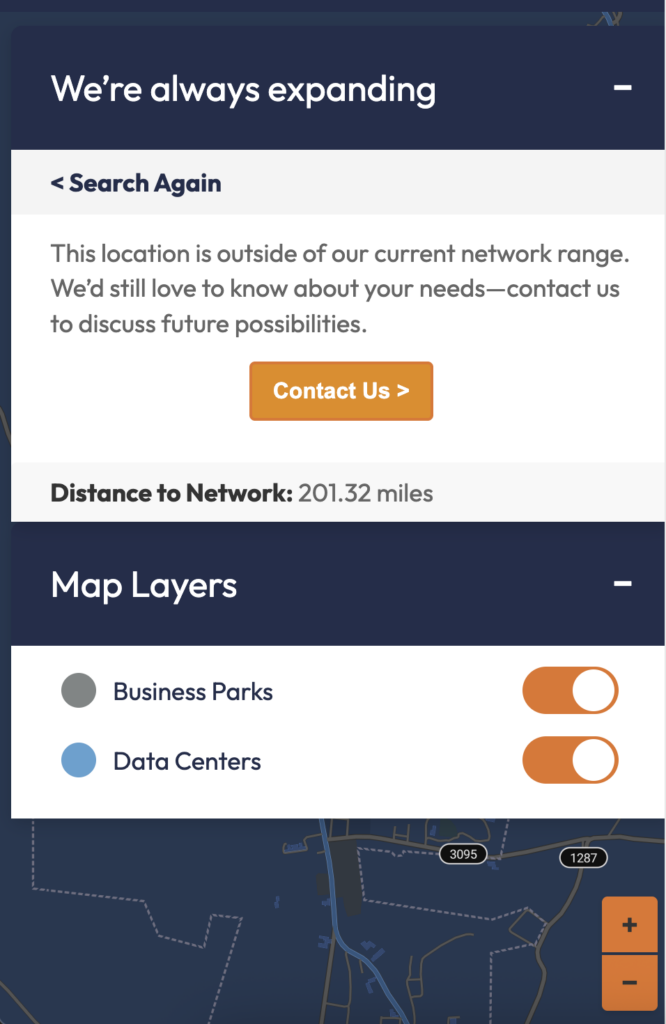
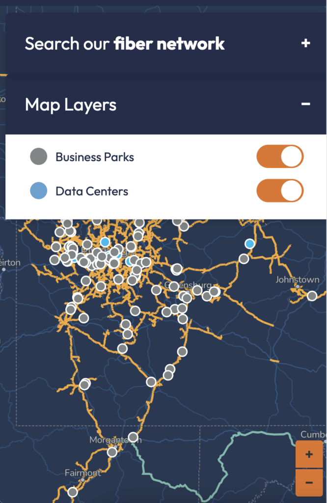
The DQE Network Map is an interactive web mapping application for a fiber optics company to visually present network coverage, service areas, and infrastructure data through a clear, map-based interface. Built with React and ArcGIS, the app enabled users to explore geographic coverage in real time while supporting dynamic data updates through GEOJSON file uploads.
The platform was designed to make complex spatial data more accessible for both internal teams and external stakeholders, improving how coverage information was reviewed, updated, and communicated. Key functionality included rendering custom GIS layers, handling uploaded GEOJSON datasets to modify displayed map data, and creating a responsive interface that balanced usability with performance.
Highlights: Focused on usability, scalability, and clear presentation of spatial data for business needs